Click to download now, finish the installation quickly, and directly unlock the all-round experience
Screenshots
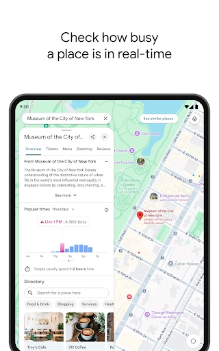
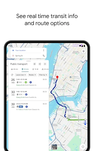
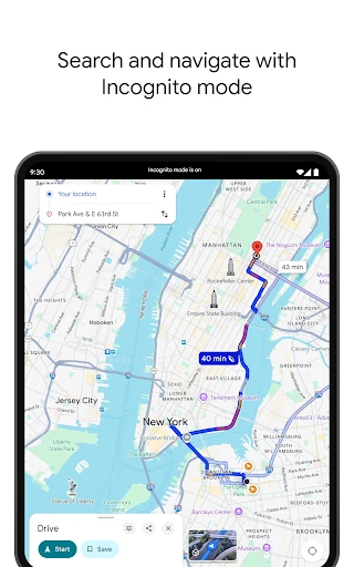
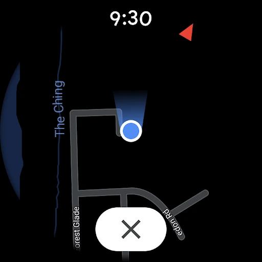
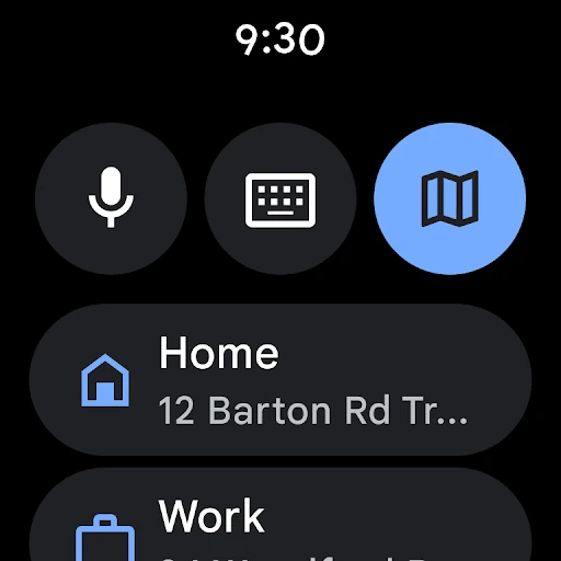
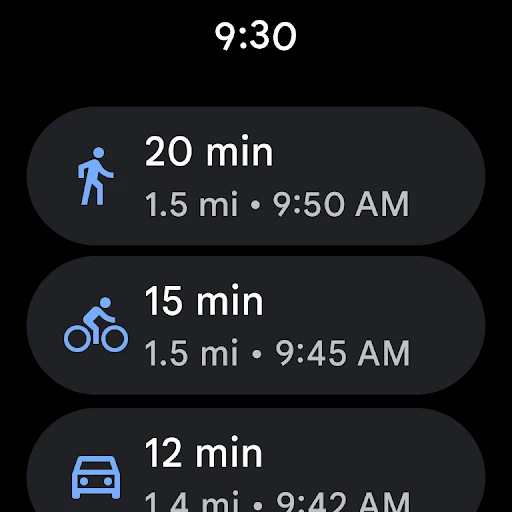
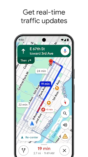
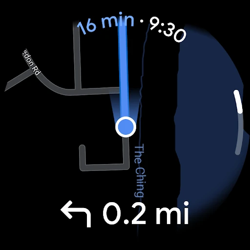
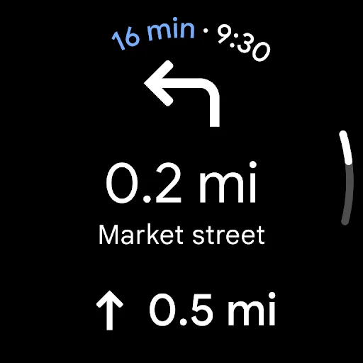
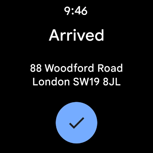
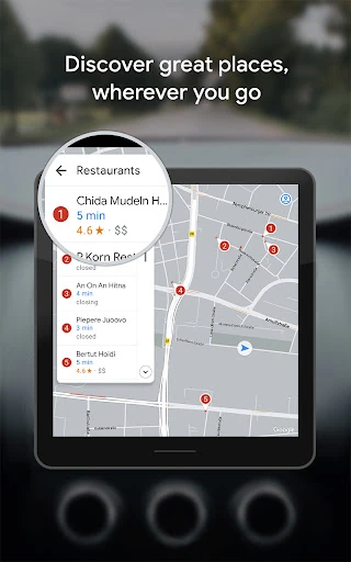
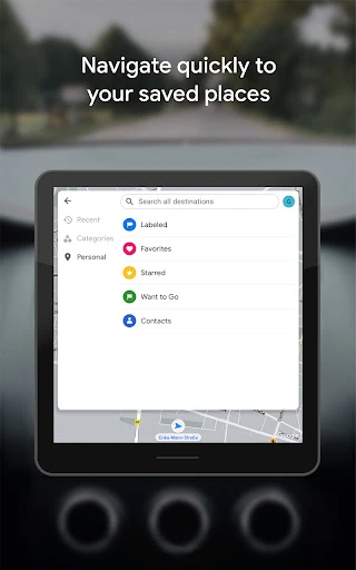
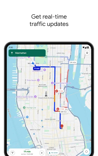
Click to download now, finish the installation quickly, and directly unlock the all-round experience
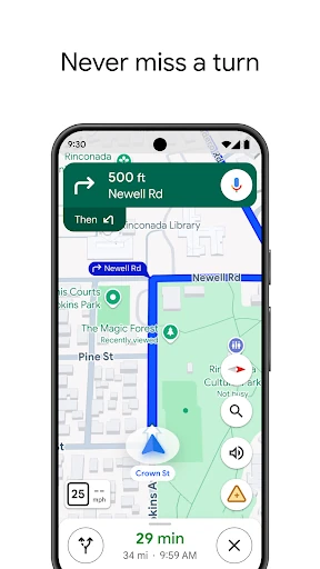
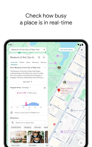
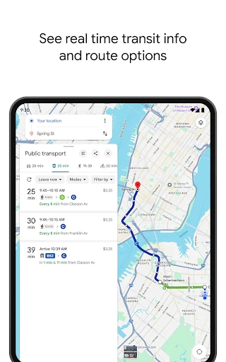
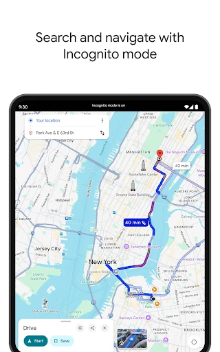
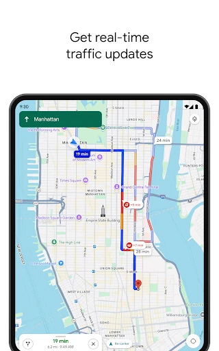
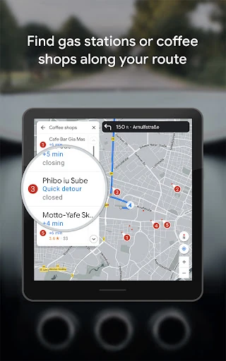
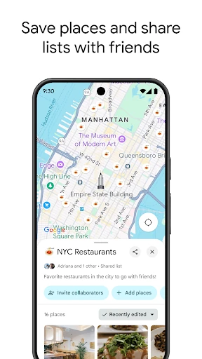
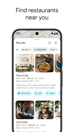
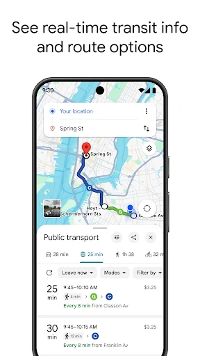
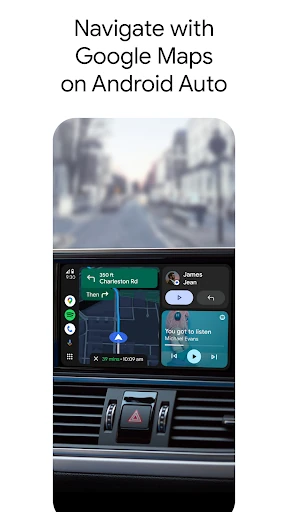
Google Maps helps you get from one place to another by car, on foot, by bicycle, or on public transport. It also helps you find nearby restaurants, shops, services, and other places worth checking before you leave home. That makes it a practical fit for commuters, drivers, travellers, and anyone who regularly needs to judge an unfamiliar area.
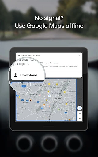
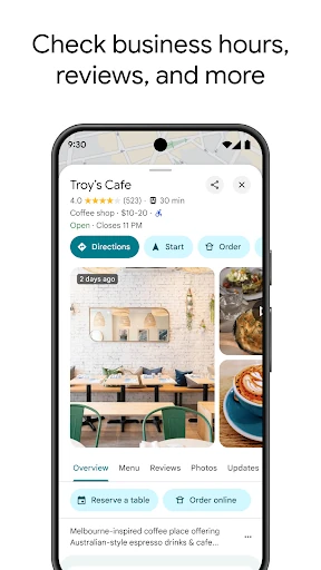
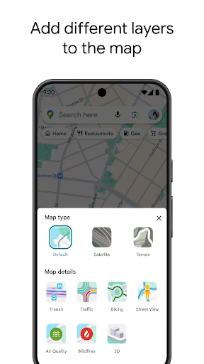
Search a destination and you can usually see its location, opening information, photos, reviews, and directions in the same app. Street View can help you recognise an entrance or check what a road looks like before arriving. For areas with unreliable mobile coverage, downloaded maps can keep basic navigation available without a data connection.
Google Maps is not especially interesting once you know how to use it. That is part of its value. It is the app people open for a quick answer: where a business is, how long a journey may take, which road to use, or whether a destination looks right before they set off. The amount of information can make the interface feel busy, but the basic actions remain familiar.
Google LLC publishes the app in the Travel & Local category. It has a listed rating of 3.17 from more than 19.3 million reviews and 10 billion-plus installs. Those figures point less to a niche travel tool than to a routine utility used across many kinds of journeys, from finding a new address to navigating a trip in another city.